
San Rafael Past-Resident Source Map
Different records carry different parts of an address history. The Recorder shows parties to instruments and legal descriptions. The Assessor and MarinMap establish the modern parcel. Directories show an occupant at a publication-year street number. Census schedules show households at an enumeration date. Sanborn sheets show the building context. Permits date work and list project participants. Newspapers, probate, and cemetery records close human trails. Together, those layers form a previous residents trail without claiming that every past household survives in one source.
| Source | Years it covers | Where held | What it shows |
|---|---|---|---|
| Recorder index and books | County trail from 1850; web index 1973-present | Marin Recorder, counter, lobby computers | Parties, dates, legal parcel, document type |
| Tax lists | 1851 and 1853-54 cataloged | Anne T. Kent California Room | Early assessment and owner clues |
| City and county directories | 1878-79, 1884-85, 1887-88, 1901 through documented runs to 1968 | Library, databases, historical collections | Occupant, spouse, occupation, address |
| Federal census | 1850-1950 released; 1890 national gap | NARA and library databases | Household at an enumeration date |
| Sanborn maps | 1887, 1894, 1924, 1950 | Library of Congress and local collections | Footprint, use, street number, building context |
| Permits and newspapers | Record availability varies by file and run | City, county, Kent Room, library | Work dates, transfers, notices, obituaries |
These are documented local runs, not a promise of a complete year-by-year shelf. Ask the Kent Room to confirm reverse-directory coverage before relying on a gap.
Note: A house-history table maps available clues; it does not promise a complete list of every previous resident.
Start a San Rafael Records Trail
To find previous residents at one address, resolve today's street line through MarinMap, a district lookup, or a San Rafael permit result. Capture the APN, situs address, tax-rate area, map book, and legal description. The modern owner mailing address is separate from the physical site. The legal description is the control when street names, numbers, or parcel shapes change.
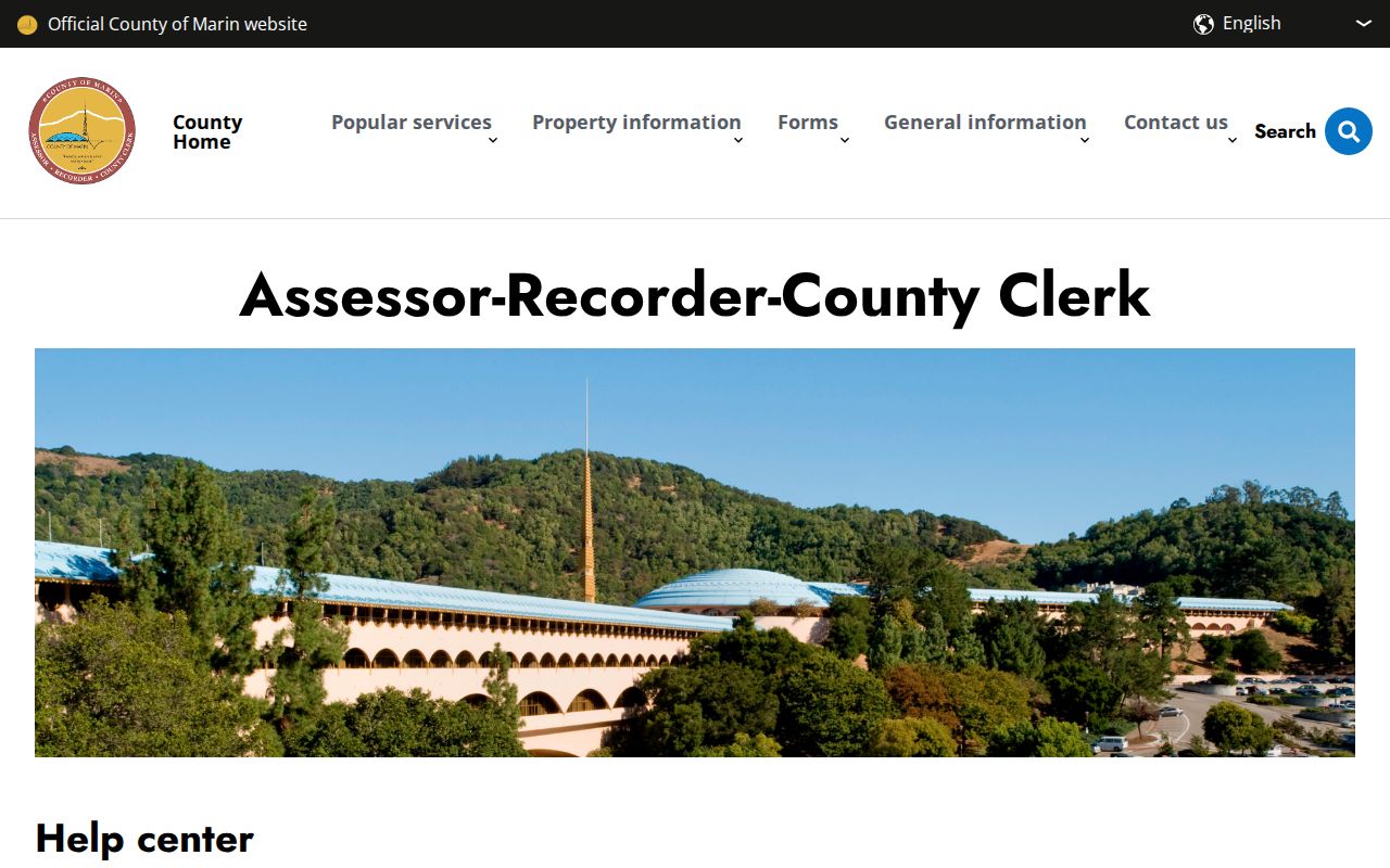
The Marin Assessor-Recorder-County Clerk hub brings property, recorder, clerk, and county contacts together. The assessor web tool is APN-led because California Revenue and Taxation Code section 408 limits public dissemination of assessor information. A public record may show a property fact without displaying an owner-name search.
The office hub gives a present-day starting point for the backward address trail.
Use the current parcel as the anchor, then let the deed and legal description carry the search into earlier years.
San Rafael Records Deed Chain
A chain of title is the sequence of transfers that links a parcel from one recorded owner to the next. It can narrow a previous residents search, but it does not by itself name every occupant. The Recorder index can start the chain with a current grantee, while the document image supplies the vesting, legal description, signatures, return address, and prior reference needed to test continuity.
- Resolve the present address to an APN and legal description.
- Search the current owner as grantee and narrow by date or instrument type.
- Read the acquisition deed and copy its grantor, recording reference, and legal description.
- Search that seller as grantee to locate the seller's earlier purchase.
- Repeat backward, comparing the legal description and APN predecessor at every step.
- When the web span ends, use Recorder books, lobby computers, the Kent Room, or a FamilySearch catalog.
- Grantor
- The party who transfers an interest in the instrument.
- Grantee
- The party who receives the interest.
- Chain of title
- The linked sequence of recorded transfers for the same land.
- Legal description
- Lot, block, subdivision, or metes-and-bounds language that controls parcel identity.
A same surname is not enough. A matching legal description and date are stronger controls than a name alone.
Note: The legal description carries more weight than a matching surname when a deed chain moves backward.
San Rafael Directory Index Trail
Marin's official-record web index covers 1973 to the present through the prior business day. Pre-1973 indexes and documents remain part of a counter, lobby-computer, book, and archive workflow. The county calls the web index a card-catalog guide and advises spelling variants. Search by name, document number, book/page, and map, then request the underlying copy when the legal detail matters.
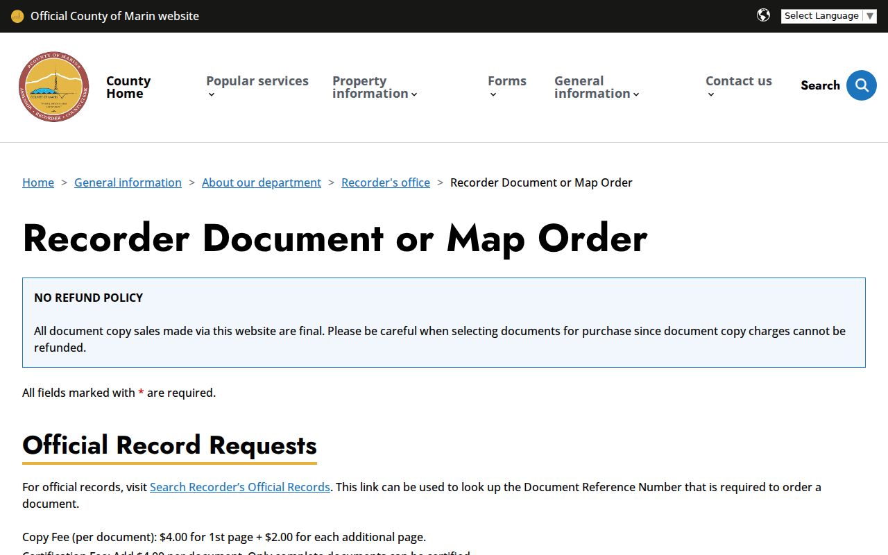
Recorder copy orders use the reference number. The posted price is $4 for the first page plus $2 for each added page, with $4 for certification per document. Filed maps have a separate page charge. Certified copies cannot be emailed. The official mail request form sends payment to Marin County Recorder, PO Box C, San Rafael, CA 94913. County counter staff can explain the route, but the document itself remains the authority.
The recorder document-and-map order screen makes the difference between a free index and a paid document visible.
Order by reference number only after the index result and parcel continuity have been checked.
San Rafael Directory Occupants
Ownership is only half of previous-resident research. Previous residents may appear in a San Rafael city directory at a street number in a publication year, with a spouse, occupation, business affiliation, or status mark. McKenney's 1878-79, 1884-85, and 1885-86 regional runs, the 1887-88 San Rafael and Marin volume, Kingsbury 1905-06, Polk 1925, A to Z runs, and later scans through 1968 form a layered occupant trail.
Use the title page and abbreviation key. A reverse or criss-cross section may place a street number before the occupant. “r,” “h,” and “wid” can carry different weight depending on the publisher. A directory may omit a person who was not listed, and a business at a number may not be a household.
The complete shelf and how to read its entries belong in the San Rafael city directory collections page. Here, the directory is one layer in a single-address history.
Note: A directory entry places a person in a publication year, not necessarily at the address today.
San Rafael Past Residents and Census
For previous residents, pair directory years with released census schedules rather than treating either as complete. The Kent guide lists 1850, 1860, 1870, 1880, 1900, 1910, 1920, and 1930 census access, plus an index to 324 Marin residents in 1850. The 1890 federal census loss makes tax lists, directories, Great Registers, newspapers, and probate more valuable for that decade. The 1950 schedule is the newest public population schedule in 2026 under the 72-year rule.
- Choose a directory year close to the census date.
- Compare surname, spouse, age clues, occupation, and street or township context.
- Mark whether the census shows a full household, a boarder, or a different address.
- Use later directories to track moves between released census points.
A gap can mean a move, death, unlisted person, changed street number, or missing volume. Preserve the uncertainty in the worksheet.
San Rafael Records Map Building Dates
San Rafael Sanborn editions are known for 1887, 1894, 1924, and 1950. The Library of Congress provides nine free sheets from May 1887. A map can show footprint, construction, use, outbuildings, street number, fire protection, and water context. It cannot identify an occupant.
Use a map after the directory gives a number. Compare the footprint and street pattern with the modern parcel, then use a deed or tax list to separate a building from the people connected to it. A map is also a bridge when an old address does not line up with a later parcel.
Do not infer a precise move or demolition date from one map alone. The editions are snapshots that need deeds, permits, and directory years around them.
Note: Each Sanborn edition is a dated building snapshot, so nearby deed and permit years still matter.
San Rafael Previous Resident Sources
Permits date construction and alteration, not a household. San Rafael's eTRAKiT and current OpenGov systems can connect a parcel or address to an applicant, contractor, report, work description, status, and dates. County Community Development records serve unincorporated territory. A permit explains when a building changed and who filed a project, but it does not prove who lived there.
Obituaries and newspapers can close the human side of a trail. The Marin County Tocsin ran from 1861 to 1918, and the Marin Journal overlaps part of that run. Search surname variants, street names, business names, legal notices, and probate columns. The Marin County Genealogical Society publishes Mt. Tamalpais cemetery, funeral, coroner, wills, and probate indexes. Probate can supply a case number, death date, executor, guardian, and will clue.
A memorial article is not a certified death record. Use it to locate a date or relationship, then ask the custodian for the permitted official copy.
San Rafael Records Vital Index Limits
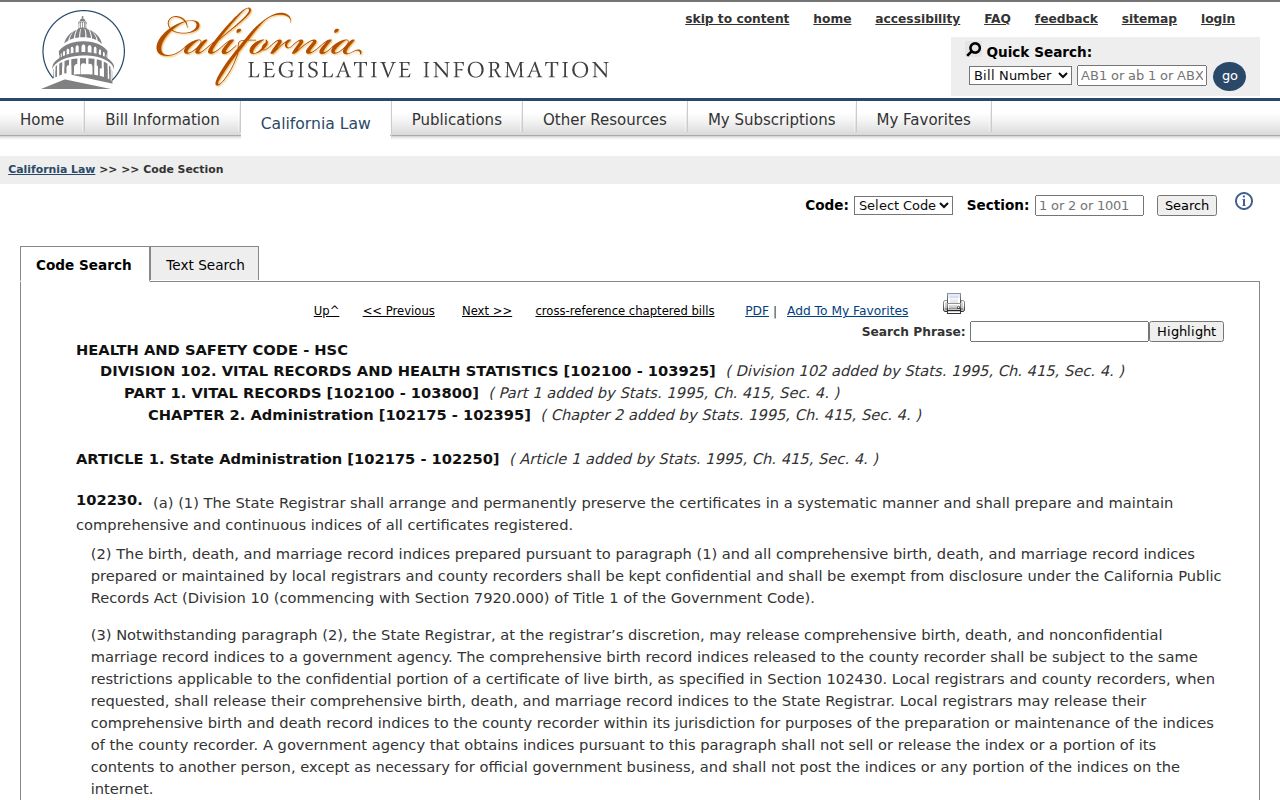
California restricts vital-record indices under Health and Safety Code section 102230. Birth, death, and marriage copies also split into authorized and informational products under sections 103525-103526.5. A confidential marriage copy is generally limited to the spouses or a court order under Family Code section 509.
The statutory split matters when a previous-resident trail reaches a death or marriage. CDPH holds statewide records from July 1, 1905 onward, while the Marin Recorder or local registrar may be the first route for a known event. The 2026 CDPH schedule lists $31 for birth, $26 for death, $19 for marriage, and $18 for dissolution certificates.
The California vital-index statute explains why a missing name in a bulk index does not disprove a past household.
Use the restriction as a guide to the right custodian, not as a reason to guess from a similar name.
Note: Restricted vital indices require a custodian route; a missing index name is not proof that an event never occurred.
San Rafael Previous Residents by Address
San Rafael's postal and civic geographies can shift the apparent address trail. 94903 reaches northern San Rafael and unincorporated territory. A mailing line may use a PO-box ZIP. An older deed may use a legal description that survives a street-name or number change. No official source in the research confirms a single citywide street-renumbering year, so a previous residents search should not invent one.
Test variants. Search the old and present street wording, compare Sanborn sheet numbers, check subdivision or survey maps in the Kent Room annex, and ask the city or county custodian which address or APN holds the historical file. Keep both the postal address and the legal description in the notes.
For the present owner and street chain, return to the San Rafael by-address records rather than extending an old occupant clue beyond its date.