
Find San Rafael Street Addresses
A careful street directory search moves from a known address to a set of records. First normalize the address through USPS. Next check the incorporated boundary in MarinMap, because a San Rafael postal line can fall in unincorporated Marin County. Then retrieve the APN, the county's parcel identifier. The APN becomes the shared key for the assessor, map, permit, tax, and deed trail.
The name at the end of that chain depends on the source. The assessor is about assessment and parcel facts. The Recorder index names parties to instruments. A permit names applicants, contractors, and project contacts. A historical reverse directory names an occupant in its publication year. A voter record is controlled and person-authenticated. None should be treated as a complete list of current people on a street.
- Standardize the street number, name, direction, unit, and ZIP with USPS.
- Use MarinMap to identify the parcel, APN, jurisdiction, and touching parcels.
- Run the APN in the Marin Assessor search and record the situs and map context.
- Search the city or county permit custodian by address or APN, then compare the work dates with the parcel.
- Use the Recorder's name and document trail, followed by directories and newspapers for older occupants.
Note: A street directory result is only as current and complete as the source, date, jurisdiction, and address key behind it.
San Rafael Street Address to APN
Marin's assessor web tool starts with a parcel number rather than a public owner-name browse. The county's property-information hub and MarinMap provide the bridge from address to APN. The APN format is nine digits separated as 999-999-99, with leading zeroes kept. A map book uses the first three digits, and a map page is needed to retrieve a particular sheet.
California Revenue and Taxation Code section 408 limits public dissemination of assessor information. The assessor warns that property characteristics are maintained for assessment and are not kept continuously current. Owner or mailing data can also be restricted from online display. For a disputed or missing detail, use the Assessor counter at Suite 208, 3501 Civic Center Drive, or call property information at 415-473-7215 during the listed Monday-Friday, 9 a.m. to 4 p.m. hours.
The Marin property-information page is the correct office route when an APN search does not answer the question.
Marin maintains about 96,000 parcels. Subdivision, merger, lot-line change, combination, survey, or tax-rate-area changes can alter an APN. Save the APN, legal description, and record date together.
The Assessor search screen illustrates the parcel-first path used by a San Rafael street directory.
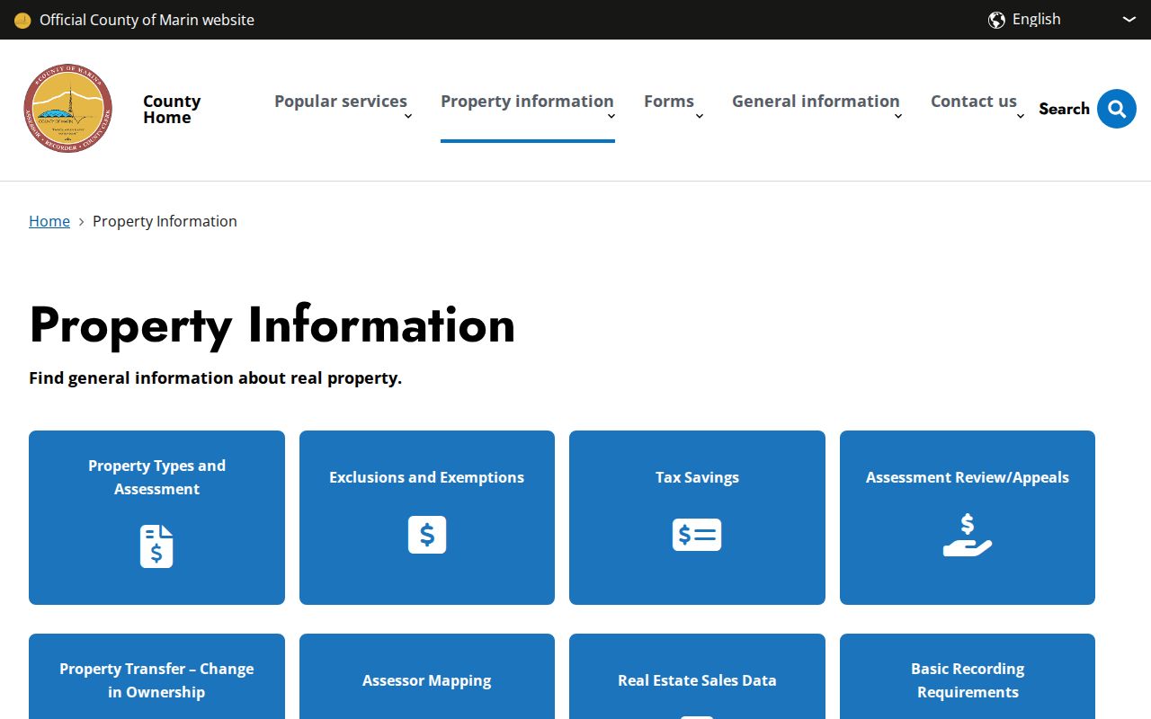
The screen is a useful start for a parcel trail, but it should not be read as a promise of owner-name browsing.
San Rafael Records by Street
Each address-keyed source answers a narrower question. The table below keeps the street directory honest by showing what can be linked and what the access path actually is.
| Record set | Keeper | Address connection | Access |
|---|---|---|---|
| Parcel and tax roll | Marin Assessor | APN, situs, value, map, tax context | Free APN search and counter |
| Parcel geometry | MarinMap | Street segment, touching parcels, boundary layers | Free interactive viewer |
| Official records | Marin Recorder | Parties, dates, legal descriptions, document references | Free index, paid copies |
| City permits | San Rafael Community Development | Address, APN, applicants, contractors, work and dates | eTRAKiT or OpenGov, then request |
| County permits | Marin Community Development Agency | Unincorporated building, planning, and environmental records | Viewer or department request |
| Historical occupants | Library and archives | Street number, name, occupation, household clues | Volume, database, or reference desk |
The parcel number ties the assessor and GIS layers to recorded documents and permit files. The street name helps locate the historical volume. It does not turn these systems into one synchronized roster.
Note: A record set can be address-keyed without being a public list of everyone connected with the street.
Browse San Rafael Streets in MarinMap
MarinMap is the visual part of the address chain. Search an address or APN, zoom until parcel lines and labels are clear, and click the target feature. Useful layers include parcels, jurisdiction boundaries, zoning and planning designations, districts, aerial imagery, and environmental constraints. The viewer supports pan, zoom, identify, layer visibility, and map results; available tools can vary by configuration.
For a block question, record the target APN and then click each parcel that shares a side or rear boundary, plus parcels across the street. Open the official parcel or permit evidence separately. A buffer or broad map result can select too much and does not mean “neighbor.” The map shows geography, not a household count.
| Search | Address, APN, or place, depending on the selected source |
|---|---|
| Layers | Parcels, boundaries, zoning, planning, aerial and agency layers |
| Identify | Click a feature to open attributes such as APN, situs, jurisdiction, and land use |
| Street method | Zoom, click, record APNs, then verify each parcel with its custodian |
A GIS attribute such as owner or mailing city may be present in a service but not display in every public pop-up. Treat the live view and its date as the evidence.
The county records search supplies the companion street-browse frame used by a local street directory.
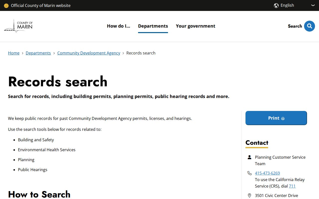
The county search companion is especially useful when a postal San Rafael address is outside the city's incorporated permit system.
San Rafael Street Records and Situs
A parcel produces three different address clues. Situs tells where the land sits. Mailing address tells where tax correspondence is sent. Legal description tells which land a deed controls. A street directory that merges those labels can attach the wrong person to the wrong site.
| Term | Plain meaning | Best use |
|---|---|---|
| Parcel | Mapped unit of land with an APN | Start a property or GIS search |
| Situs address | Physical site or building location | Match a street to a parcel |
| Mailing address | Destination for assessment notices | Notice a possible owner-site difference |
| Legal description | Lot, block, subdivision, or metes-and-bounds text | Control a deed chain across address changes |
| Plat | Recorded map that lays out lots and streets | Bridge an older or changed street pattern |
A mailing address outside San Rafael may indicate an absentee owner, a business mailing point, or a tax service. It does not identify non-owner occupants or every household member. A permit applicant may be an owner, agent, contractor, or project contact. The street directory works best when each fact keeps its source and date.
Note: Situs, mailing, and legal-description fields should remain separate until the parcel, date, and document agree.
San Rafael Permit Records Change Portals
San Rafael's eTRAKiT system was the legacy parcel and permit search. The city moved inspections to OpenGov on February 17, 2026 and new applications on February 23. eTRAKiT became read-only after June 19, with building, planning, fire, public-works, code-case, and related records expected in OpenGov on July 1. Old record numbers and accounts do not automatically migrate.
Search the current San Rafael OpenGov portal by old permit number, Property Address, or APN. Historical subdivision and development files may remain under an original project address or APN. A staff-verified Migrated Record Access Request may be needed for management access. Current record guidance separates records from 2000 onward, pre-2000 historical material, and a 2000-05 overlap.
The legacy eTRAKiT parcel search is still useful for a street directory when an old record has not moved or when an attachment remains in the read-only system.
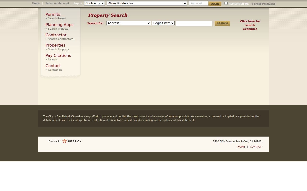
eTRAKiT results can connect APN, site address, report number, application, issue and final dates, work description, status, and downloadable attachments.
A second view of the current OpenGov route shows where work has moved.
Permit migration is a timing fact, so save the old number and address when a search result points to a later system.
San Rafael Deed Chain Along a Street
The Recorder's grantor and grantee index gives an address search a name trail. Find a current owner or known party, inspect the recorded document reference, then read the legal description before moving backward. A grantor is the seller or transferor in a transaction. A grantee is the recipient. Searching both roles catches the change from seller to buyer.
The online index covers 1973 to the present through the prior business day. Earlier index and document work continues at Recorder lobby computers, books, or a counter. Search spelling variants, document type, book/page, map, and date. The index is free, but copies cost $4 for the first page, $2 for each added page, and $4 for certification per document. Filed maps use a different page charge.
Deeds and liens can prove a recorded relationship to land. They do not prove that a person sleeps at the site today. Keep the deed date, recording reference, legal description, APN, and address in separate fields.
The city records migration notice is another dated address clue for a street directory.
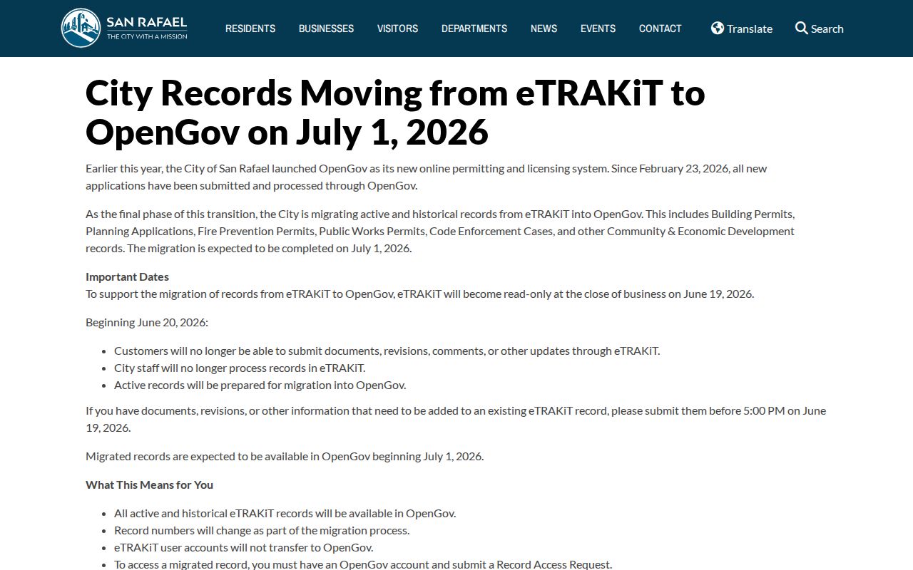
When a city record changes systems, the old reference number is the bridge to the new search.
Note: The Recorder index can show a recorded relationship, while occupancy still requires a dated, independent source.
Read San Rafael in Reverse Directories
Historical street work belongs in the library rather than the current assessor roll. San Rafael directories document 1878-79, 1884-85, 1885-86, 1887-88, 1901, 1905-06, 1925, multiple A to Z runs from 1939-40 through 1954-55, and later volumes through 1968 in documented holdings. A reverse or criss-cross section, when a volume has one, arranges a street number and occupant instead of a surname.
The title page and abbreviation key control the meaning. “r” can indicate residence or roomer, “h” can mean house, and “wid” may identify a widow followed by a deceased spouse. Early McKenney directories sometimes include occupation and land acreage. A 1962 Polk street section quoted in a local planning exhibit shows names, street numbers, suffixes, and abbreviated occupation, including “dance tchr.” That section can separate a business, a household, and a live-work clue.
For older street numbers, pair the directory with Sanborn map sheets from 1887, 1894, 1924, and 1950. The maps show footprint, use, outbuildings, street numbers, fire protection, and water context, not occupant names. Search spelling variants and never assume a publisher's abbreviation applies to another year.
San Rafael Street Records Voter Limits
Marin's Voter Information Portal is made for a person to check their own status. It requires exact registration spelling, birth date, house number, and an identification field. The form can accept fractions or a letter suffix in the house number, but it does not create a public street browse.
A formal voter-file request has a separate gate. California Elections Code section 2194 and 2 CCR sections 19001-19013 limit release to approved purposes. The Marin voter-data application requires an original signature, current identification, fee, and supporting evidence. The county says no commercial use, harassment, overseas storage or viewing, or unapproved transfer is allowed. A voter file is therefore a controlled record source, not a street directory.
For a legal, personal check, use My Voter Status for the person who is checking. For a block or street project, rely on parcel, deed, map, permit, and historical sources instead.
Note: Marin voter data is purpose-controlled, so a street project should rely on parcel and permit records instead.
What the San Rafael Street Directory Misses
Public address records leave real gaps. Non-owner occupants and household members may not appear in a deed, assessor record, permit, or historical volume. Utilities, delivery accounts, customer files, DMV addresses, and protected voter information are not legitimate public street lists. A historical directory omits people who were not listed, and a permit reflects a project relationship rather than a home relationship.
The safest conclusion is narrow: “this record connects this name to this parcel, project, instrument, or publication-year address.” Do not turn it into a claim about a living person without independent support from the proper custodian. If the desired detail is missing, ask the City Clerk, County Community Development Agency, Recorder, or library reference staff a focused question instead of guessing.
When the goal shifts from a whole street to one person, the San Rafael resident lookup workflow adds name, court, vital, business, and license checks.